Chichen Itzá
Chichen Itzá archaeological site is located in the Yucatán Peninsula of Mexico. This ancient city, once a thriving hub of the Maya civilization, boasts a rich tapestry of history, culture, and architectural brilliance.
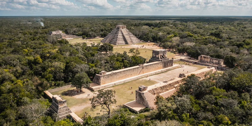
Visitors are drawn to its iconic structures, including the towering El Castillo pyramid, the Great Ball Court, and the Temple of the Warriors. Each edifice tells a unique story of the Maya’s advanced knowledge in astronomy, mathematics, and urban planning.
“Itzá” is an ethnic group that once dominated the region.
“Chichen Itzá” can be translated to “at the mouth of the well of the Itzá.” This name highlights the significance of the nearby cenotes, which were crucial for the city’s water supply and held great spiritual importance.
Chichen Itzá is a testament to the ingenuity and grandeur of the ancient Mayans. Its historical significance, with the captivating geography and favorable climate conditions, makes it an unmissable destination for travelers.
Chichen Itzá promises an enriching experience filled with awe and wonder.
Geography and Environment
Chichen Itzá is nestled in the northern part of the Yucatán Peninsula, surrounded by a lush tropical forest. The site is situated on a limestone plateau, which contributes to its unique geographical features.
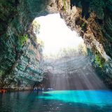
The region is characterized by cenotes, natural sinkholes that were sacred to the Maya and served as sources of fresh water. The most famous cenote at Chichen Itzá, the Sacred Cenote, was used for religious sacrifices and rituals.
The site is spread over an extensive area, allowing visitors to explore a variety of structures. The surrounding environment is teeming with diverse flora and fauna, enhancing the overall experience with its natural beauty.
Best Time to Visit Chichen Itzá
The optimal time to visit Chichen Itzá is during the dry season (November to April).
During these months, the weather is typically warm and pleasant, with lower humidity levels, making it ideal for exploring the ruins. The daytime temperatures range from 25°C to 32°C, providing comfortable conditions for sightseeing.
The rainy season is from May to October with heavy rainfall and high humidity.
If you prefer fewer crowds and don’t mind occasional showers, the early part of the rainy season can still be a viable option. It’s advisable to arrive early in the morning to beat the heat and the influx of tourists.
History and Chronology
Chichen Itza stands as one of the most iconic and historically significant archaeological sites in the Northern Maya Lowlands, encapsulating centuries of Mayan history, culture, and architectural ingenuity.
Its timeline extends from the Late Classic period (circa 600–900 CE) through the Terminal Classic (circa 800–900 CE), and into the early Postclassic period (circa 900–1200 CE).
The core layout of Chichen Itza was primarily developed between 750 and 900 CE.
During this period, the city’s architecture was centered around the Xtoloc cenote, with key structures such as the Las Monjas and Observatorio, which were built on existing substructures.
The city saw its initial rise to prominence towards the end of the Early Classic period around 600 CE.
Ascendancy to Regional Power
Chichen Itza emerged as a major regional capital during the late stages of the Classic period into the Terminal Classic, around 900.
This era marked the height of Chichen Itza’s influence, as it centralized and dominated the political, sociocultural, economic, and ideological landscape of the northern Maya lowlands.
The city’s rise coincided with the decline of other major centers in the southern Maya lowlands, such as Yaxuna and Coba. By the 10th century, Chichen Itza controlled a vast region extending from central Yucatán to the northern coasts and along the eastern and western shores of the peninsula.
The earliest known hieroglyphic date at Chichen Itza is equivalent to 832, found on a lintel within the city, while the latest is from AD 998, discovered in the Osario temple.
Decline and Transformation
The decline of Chichen Itza as a dominant regional center began around 1250. Various theories exist regarding its fall, including internal strife and the rise of competing powers such as Mayapan.
According to the Book of Chilam Balam of Chumayel, Hunac Ceel, ruler of Mayapan, conquered Chichen Itza in the 13th century. However, archaeological evidence suggests that Chichen Itza had already waned as a power before Mayapan’s ascendance.
Although elite activities ceased, the city was not entirely abandoned. When Spanish conquistadors arrived, they encountered a thriving local population. This relative density influenced their decision to establish a capital in the area.
Post-conquest sources, both Spanish and Maya, indicate that the Cenote Sagrado remained a significant pilgrimage site.
Spanish Conquest and Colonial Era
In 1526, Spanish Conquistador Francisco de Montejo received a charter to conquer Yucatán.
After initial setbacks, including a failed attempt by his son to establish a foothold at Chichen Itza, Montejo eventually succeeded in conquering the peninsula. By 1588, Chichen Itza was functioning as a working cattle ranch under Spanish control.
Rediscovery and Modern Exploration
Chichen Itza re-entered the public consciousness in 1843 through John Lloyd Stephens’ book, “Incidents of Travel in Yucatan,” which included illustrations by Frederick Catherwood. This work inspired subsequent explorations and excavations.
In 1894, Edward Herbert Thompson, the U.S. Consul to Yucatán, purchased the Hacienda Chichén, which encompassed the famous ruins. Thompson’s extensive explorations uncovered numerous artifacts.
The early 20th century saw significant archaeological efforts by the Carnegie Institution and the Mexican government, leading to extensive excavations and restorations of major structures such as the Temple of Warriors, Caracol, El Castillo, and the Great Ball Court.
Recent Developments
The mid-20th century and beyond witnessed continued archaeological endeavors and legal battles over artifact ownership. Notably, the Mexican Supreme Court in 1944 ruled in favor of Thompson’s heirs, returning Chichen Itza to them, who later sold it to tourism pioneer Fernando Barbachano Peon.
Excavations and restoration efforts by Mexico’s National Institute of Anthropology and History (INAH) have persisted into the 21st century, aiming to uncover and preserve the rich history of this ancient city.
Notably, excavations adjacent to El Castillo in 2009 aimed to investigate construction predating this iconic pyramid.
Chichen Itza’s legacy endures as a testament to the ingenuity and resilience of the Maya civilization, continuing to attract scholars and tourists from around the globe, eager to uncover the mysteries and marvels of this ancient city.
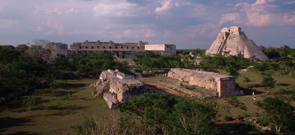
Chichen Itzá Archaeological Zone
Chichen Itza is one of the most significant and well-preserved archaeological zones in Mexico. Chichen Itza was a major hub of Mayans and offers a fascinating glimpse into the architectural and cultural achievements of the Maya.
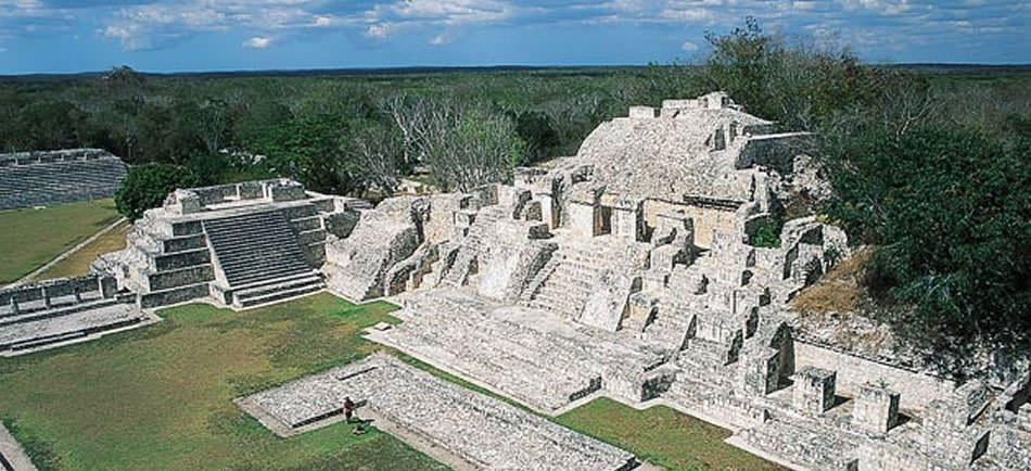
The archaeological zone of Chichen Itza spans an area of approximately 4 square miles. The site is divided into various complexes of buildings, each with distinct architectural styles and purposes, reflecting different periods of construction and use.
The city’s layout is indicative of its role as a major regional capital, with impressive structures designed for religious, administrative, and residential purposes.
Important Structures of the Site:
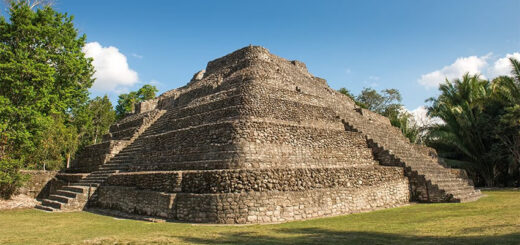
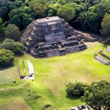
El Castillo (Temple of Kukulcán) is an iconic step pyramid that dominates the central plaza. It features 365 steps, corresponding to the days of the solar year, and is famous for the shadow-serpent phenomenon during the equinoxes.
Great Ball Court is the largest and most well-preserved ball court in Mesoamerica, measuring 168 m in length and 70 m in width. It was used for the ballgame, which held significant ritualistic and political importance.
The Temple of the Warriors is a large stepped pyramid surrounded by a dense forest of carved columns depicting warriors. The temple complex includes the Group of the Thousand Columns, which likely served as a market or meeting place.
El Caracol (The Observatory) is a circular tower on a large square platform is believed to be an astronomical observatory. The structure has windows aligned with various celestial events, showcasing the Maya’s advanced knowledge of astronomy.
Temple of the Jaguars is located adjacent to the Great Ball Court, this temple features a lower and upper shrine. The lower temple has murals depicting scenes of war and human sacrifice, while the upper shrine contains jaguar-shaped thrones.
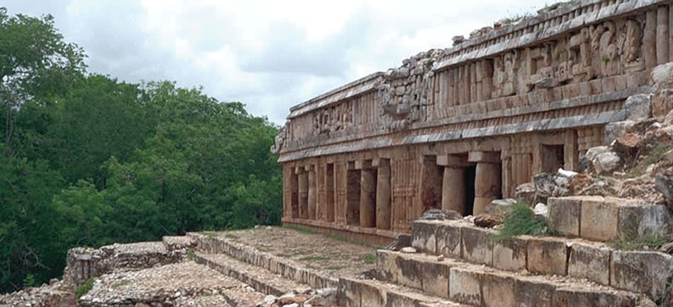
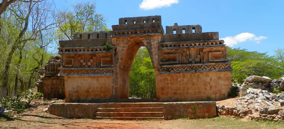
Las Monjas (The Nunnery) is a complex of structures with intricate carvings and decorative elements. Despite its name, it likely served as a governmental palace rather than a religious convent.
Temple of the Initial Series is known for the discovery of the earliest dated lintel in Chichen Itza. This structure provides important chronological information about the city’s history.
Osario (High Priest’s Temple) is a smaller pyramid is similar in style to El Castillo. The Osario pyramid contains a tomb beneath it and is surrounded by smaller structures.
Akab Dzib means “The House of Mysterious Writing”. This building features inscriptions that remain undeciphered. It is one of the older structures on the site.
Cenote Sagrado (Sacred Cenote) is a natural sinkhole used for ceremonial purposes, including offerings and human sacrifices to the rain god Chaac. Artifacts recovered from the cenote include gold, jade, and other valuables.
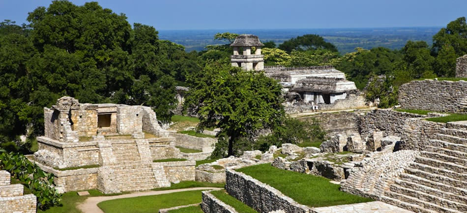
Chichen Viejo (Old Chichen) is an area with several older structures, including temples and palaces that predate the more famous monuments. Ongoing excavations continue to reveal more about the early phases of the city’s development.
These structures, among others, illustrate the architectural prowess, cultural richness, and religious significance of Chichen Itza, attracting researchers and tourists alike who seek to explore its historical legacy.
How to get to Chichen Itzá?
The nearest towns and villages:
- Valladolid is 45 km east of Chichen Itzá.
- Pisté is just a few kilometers from Chichen Itzá.
- Mérida is about 120 km west of Chichen Itzá.
- Cancún is approximately 200 km to the east.
- Playa del Carmen is located around 180 km away.
Getting to Chichen Itzá:
Renting a car is a convenient way to reach Chichen Itzá, providing flexibility and the opportunity to explore other attractions along the way. Major highways connect the site with surrounding towns and cities.
Regular and frequent bus services operate from all regional cities – Valladolid, Mérida, Cancún, and Playa del Carmen to Chichen Itzá. The ADO bus company offers comfortable and affordable options.
Many visitors opt for guided tours, which include transportation from major tourist hubs like Cancún and Playa del Carmen. These tours often provide valuable insights and context about the site’s history and significance.
Tourist Information
- Chichen Itzá is open to visitors from 08:00 to 16:00 daily.
- The entrance fee is generally modest, around 95 MXN (2024).
What to bring and what to wear?
Bring water and snacks. Ensure you stay hydrated, as exploring the ruins can be physically demanding, especially in the heat. Light snacks or energy bars can keep you fueled during your visit.
Wear sturdy, comfortable shoes suitable for walking and climbing, as the terrain can be uneven. Opt for lightweight, breathable clothing to stay cool. Long sleeves and pants can also help protect against insect bites.
Protect yourself from the sun with a wide-brimmed hat and sunglasses. The area can have mosquitoes, especially during certain times of the year, so bring repellent to avoid bites.
Capture the beauty and history of the ruins, but remember to respect any rules regarding photography. Enjoy your exploration of Chichen Itzá ruins, and immerse yourself in their fascinating history!